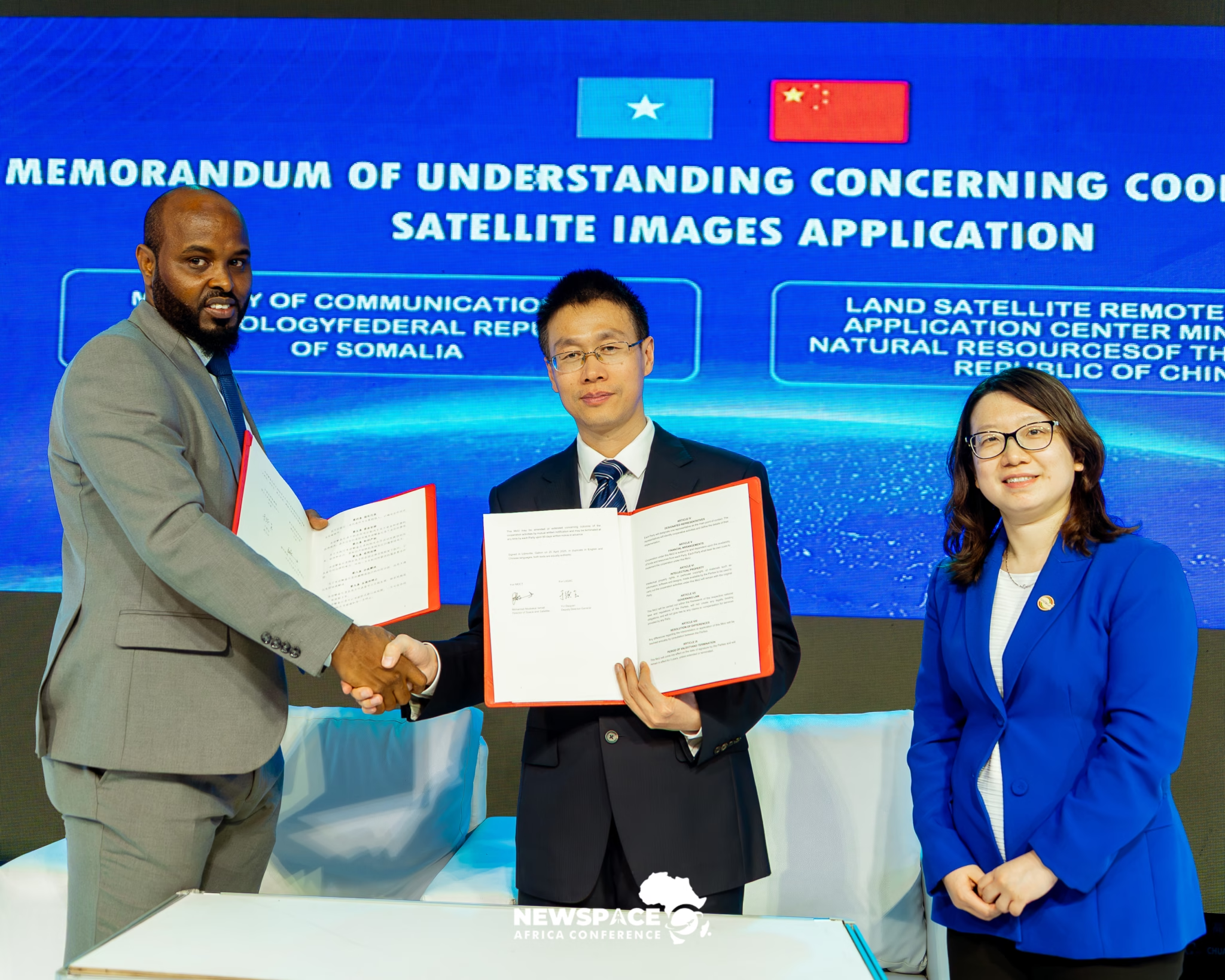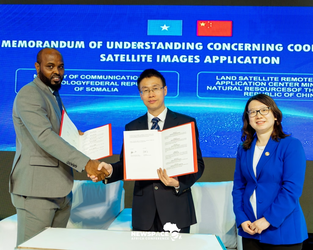
Egypt, Somalia Sign MoU with China’s LASAC to Strengthen Satellite Imagery Applications
Somalia and Egypt have signed Memoranda of Understanding (MoUs) with China’s Land Satellite Remote Sensing Application Centre (LASAC) to strengthen cooperation in satellite imagery applications and expand the use of space-based data for economic development and sustainable growth.
Strengthening International Cooperation in Satellite Technology
The agreements were signed on 20 April 2026 during the NewSpace Africa Conference 2026 , held in Libreville, Gabon. Somalia was represented by its Space and Satellite Department, while Egypt was represented by the Egyptian Space Agency.
LASAC operates under China’s Ministry of Natural Resources. The partnership aims to promote technical cooperation, knowledge exchange, innovation, and the practical application of satellite imagery across different development sectors.
Somalia’s Role in Satellite Data Management
Under the agreement, Somalia’s Space and Satellite Department will serve as the primary national repository for receiving raw satellite imagery from LASAC.
— Mohammed Abubakara Ismail, Director of Somalia’s Space and Satellite Department
Opportunities for GIS and Remote Sensing in Somalia
The agreement presents opportunities to expand the application of Geographic Information Systems (GIS), Remote Sensing, and Earth Observation technologies in Somalia.
Key Application Areas
- Agriculture: Monitoring crop conditions, agricultural land, and vegetation health.
- Climate Monitoring: Tracking rainfall patterns, drought conditions, and environmental changes.
- Flood Risk Management: Identifying flood-prone areas and supporting disaster preparedness.
- Water Resources: Monitoring rivers, surface water, and water availability.
- Urban Planning: Mapping urban expansion, land use, and infrastructure development.
- Environmental Management: Monitoring land degradation, deforestation, and ecosystem changes.
A New Opportunity for Somalia’s Space Sector
The partnership represents an important opportunity for Somalia to strengthen its participation in the growing African space industry. Access to satellite imagery and improved technical capabilities could support evidence-based planning and decision-making across government institutions, research organisations, and development programmes.
Effective implementation will depend on institutional coordination, technical capacity development, data accessibility, and the integration of satellite-derived information into national development priorities.
What This Means for Somalia’s Geospatial Future
For Somalia’s GIS and Remote Sensing community, the agreement highlights the growing importance of Earth Observation data in addressing national development challenges.
Strengthening access to satellite imagery could create opportunities for researchers, GIS professionals, universities, and government agencies to develop innovative geospatial solutions and contribute to sustainable national development.
Source publication date: 23 April 2026
Published by: SOGISA News
This article is an independently written summary based on reporting by Space in Africa.